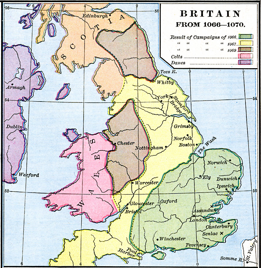
Description: A map of Britain during the Norman Conquest of 1066–1070. The map is color–coded to show the territories controlled by the Normans as a result of the campaigns of 1066, 1067, and 1069.
Place Names: United Kingdom, Bristol, �Nottingham, �Scotia, �Wales, �Worceste
ISO Topic Categories: oceans,
location,
inlandWaters,
boundaries
Keywords: Britain, borders, oceans,
location,
inlandWaters,
boundaries, Unknown, 1066–1070
Source: Robert H. Labberton, New Historical Atlas and General History (New York, NY: Townsend MacCoun, 1886) Plate XXXI
Map Credit: Courtesy the private collection of Roy Winkelman |
|