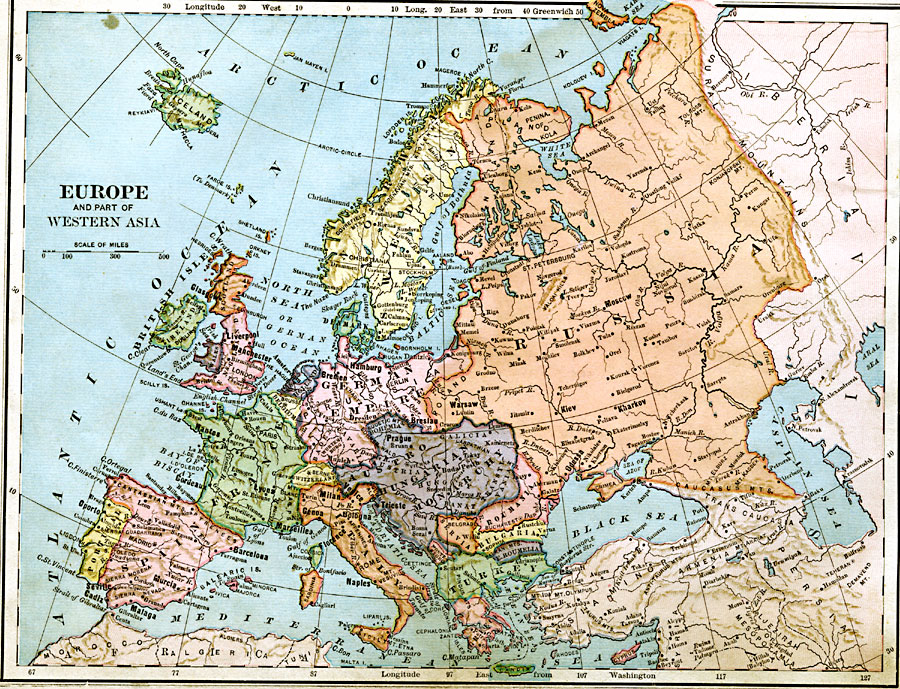
Description: A map from 1883 of Europe and western Asia showing country borders and capitals, principal cities, mountain systems, and rivers.
Place Names: A Complete Map of Europe, United Kingdom, �Spain, �Portugal, �France, �Italy, �Sweden, �Romania, �Greece, �Poland, �German Empire, �Austro-Hungarian Monarchy,�Russia, �Montenegro, �Servia, �Bulgaria, �Turkey, �Denmark, �Holland, �Belgium, �Switzerland, ��Europe, �Asi
ISO Topic Categories: boundaries,
inlandWaters,
location,
oceans
Keywords: Europe and Western Asia, physical, �political, physical features, country borders, boundaries,
inlandWaters,
location,
oceans, Unknown, 1883
Source: , Handy Atlas of the World (New York, NY: Ivison, Blakeman, Taylor and Co., 1883) 21
Map Credit: Courtesy the private collection of Roy Winkelman |
|