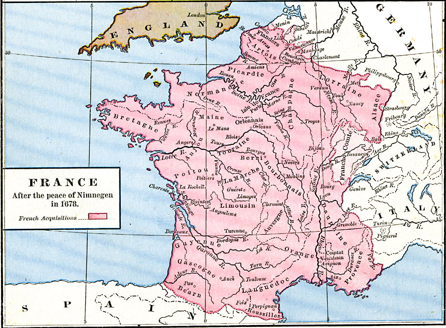
Description: A map of France after the Peace of Nimnegan (Nijmegen) that ended the Franco–Dutch War (1672–1678). This map is color–coded to show French land acquisitions, including Franche–Comte and several small territories in the northeastern Netherlands.
Place Names: France, Alsace, �Bretagne, �Champagne, �Dauphine, �Dorraine, �Languedoc, �Normandy, �Poitou, �Provenc
ISO Topic Categories: oceans,
location,
inlandWaters
Keywords: France after the peace of Nimnegan, borders, �political, country borders, oceans,
location,
inlandWaters, Unknown, 1678
Source: Robert H. Labberton, New Historical Atlas and General History (New York, NY: Townsend MacCoun, 1886) Plate XLVI
Map Credit: Courtesy the private collection of Roy Winkelman |
|