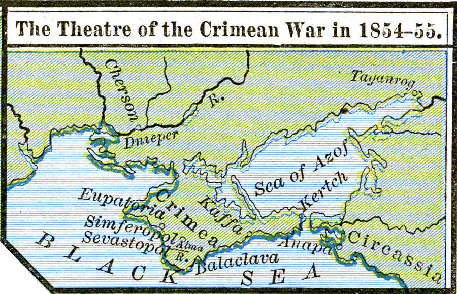
Description: Map of the theatre of the Crimean War in 1854–1855 between the Russian Empire and the allied forces of the French, British, Turk, and Kingdom of Sardinia. This map shows the Crimean Peninsula in the Black Sea and Sea of Azof (Azov), and the important cities of Sevastopol, Balaclava, Simferopol, Eupatoria, and Kaffa.
Place Names: Ukraine, Black Sea, �Circassia, �Crime
ISO Topic Categories: oceans,
location,
inlandWaters
Keywords: The Theatre of the Crimean War, borders, �historical, country borders, other military, oceans,
location,
inlandWaters, Unknown, 1854–1855
Source: Robert H. Labberton, New Historical Atlas and General History (New York, NY: Townsend MacCoun, 1886) Plate LI
Map Credit: Courtesy the private collection of Roy Winkelman |
|