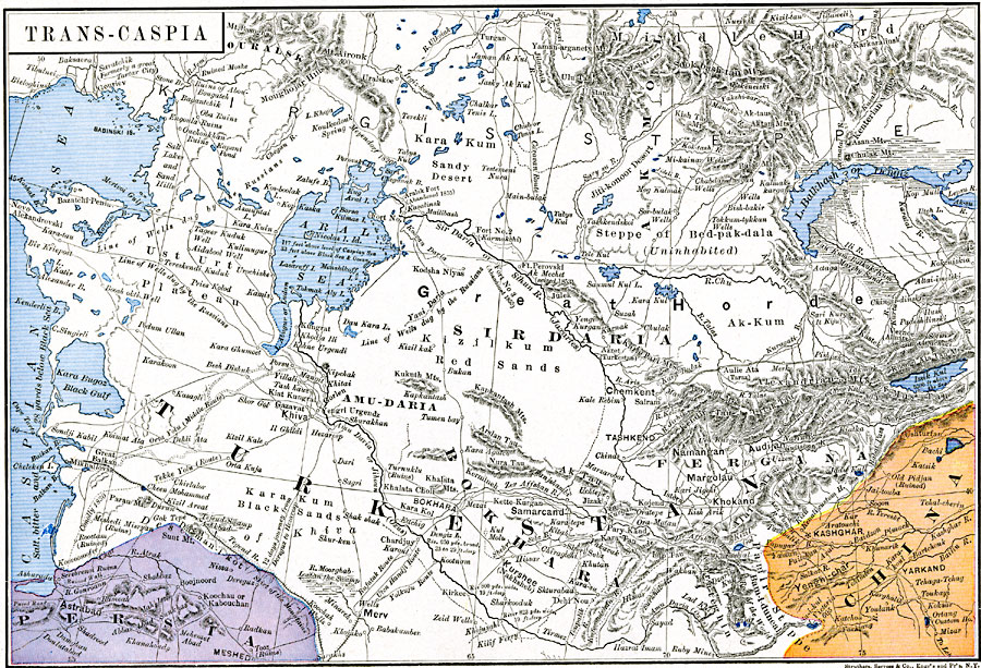
Description: Map showing the Trans–Caspian countries. Map is color–coded to differentiate between the different countries in the area.
Place Names: Turkey, Akmol, �Amu-Daria, �Bokhara, �Ouralsk, �Pergana, �Sidharia, �Turkesta
ISO Topic Categories: oceans,
location,
inlandWaters,
boundaries
Keywords: Trans-Caspia, borders, �political, country borders, oceans,
location,
inlandWaters,
boundaries, Unknown, 1886
Source: Robert H. Labberton, New Historical Atlas and General History (New York, NY: Townsend MacCoun, 1886) Plate LV
Map Credit: Courtesy the private collection of Roy Winkelman |
|