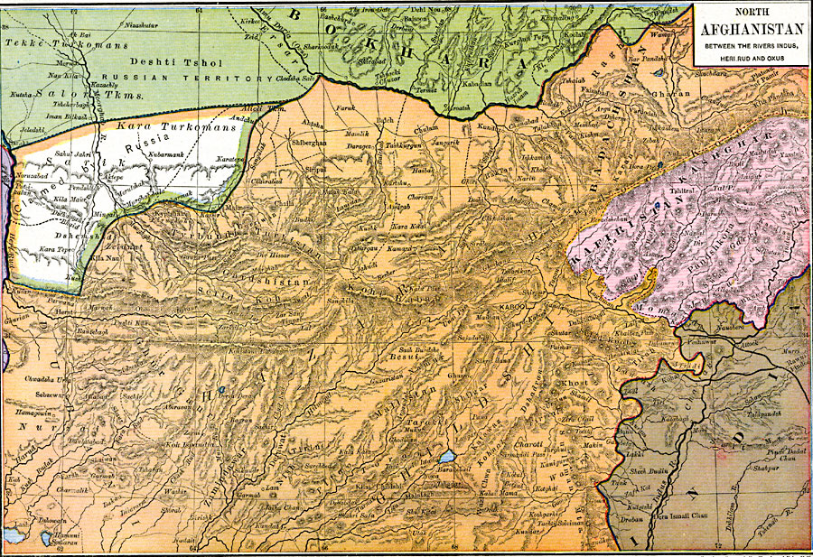
Description: A map of North Afghanistan between the Rivers Indus, Heri Rud, and Oxus. The map is color–coded to differentiate between the different countries in the area.
Place Names: Western Asia, Badachshan, �Ghildshi, �Kafristan, �Kashgha
ISO Topic Categories: oceans,
location,
inlandWaters,
boundaries
Keywords: North Afghanistan between the Rivers Indus, Heri Rud, and Oxus, borders, �political, country borders, oceans,
location,
inlandWaters,
boundaries, Unknown, 1886
Source: Robert H. Labberton, New Historical Atlas and General History (New York, NY: Townsend MacCoun, 1886) Plate LVI
Map Credit: Courtesy the private collection of Roy Winkelman |
|