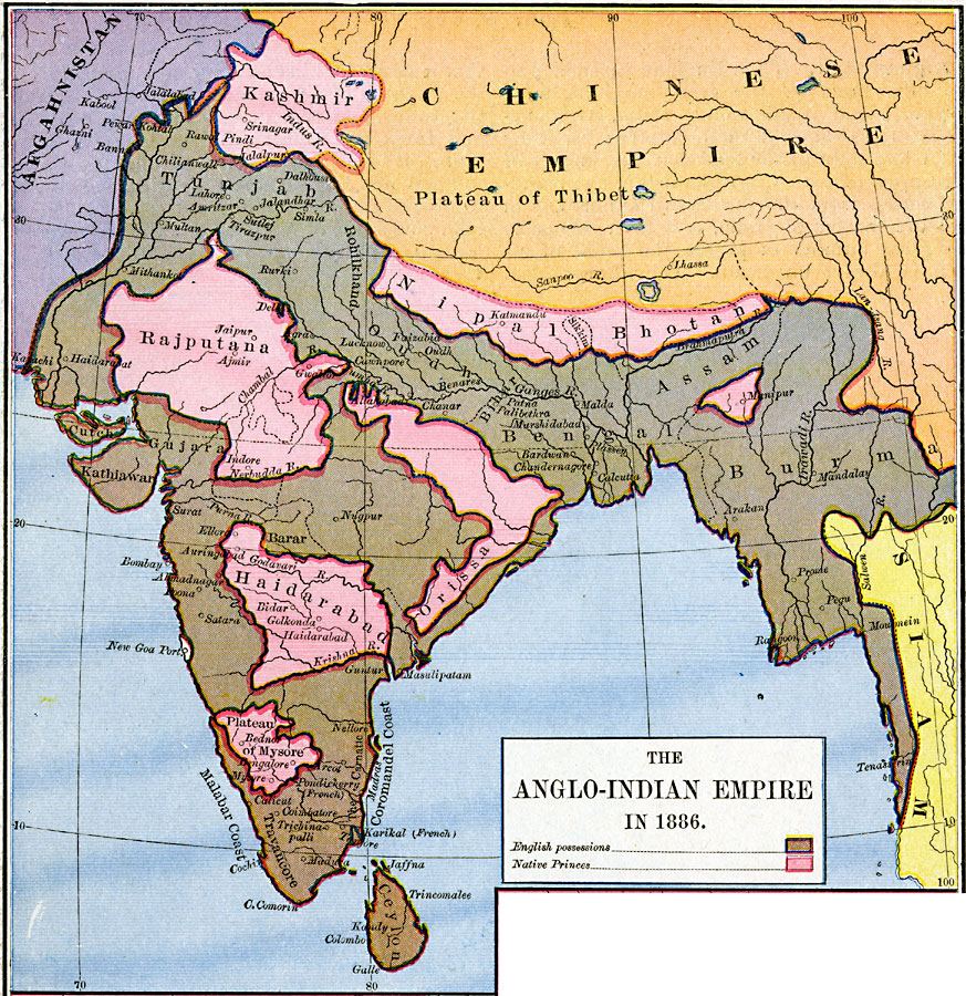
Description: A map of southern Asia showing the Anglo-Indian Empire in 1886. The map is color–coded to show the territories under direct control of the English at the time, and the territories of the native Princes. The map shows the frontiers with Afghanistan, the Chinese Empire, and Siam (Thailand), and the native territories of Kashmir, Nipal, Sikkim, Bhotan, Rajputana, Orissa, Haidarabad, and the territories around Menipur and on the Plateau of Mysore. The map clearly illustrates the significance held by the British for river and coastal domination. This map shows major cities and ports, rivers, and coastal features.
Place Names: Southern Asia, Burma, �Ceylon, �China, �India, �Kashmir, �Nipal Bhotan, �Siam, �Tunja
ISO Topic Categories: oceans,
location,
inlandWaters,
boundaries
Keywords: The Anglo–Indian Empire, borders, �political, country borders, oceans,
location,
inlandWaters,
boundaries, Unknown, 1886
Source: Robert H. Labberton, New Historical Atlas and General History (New York, NY: Townsend MacCoun, 1886) Plate LVII
Map Credit: Courtesy the private collection of Roy Winkelman |
|