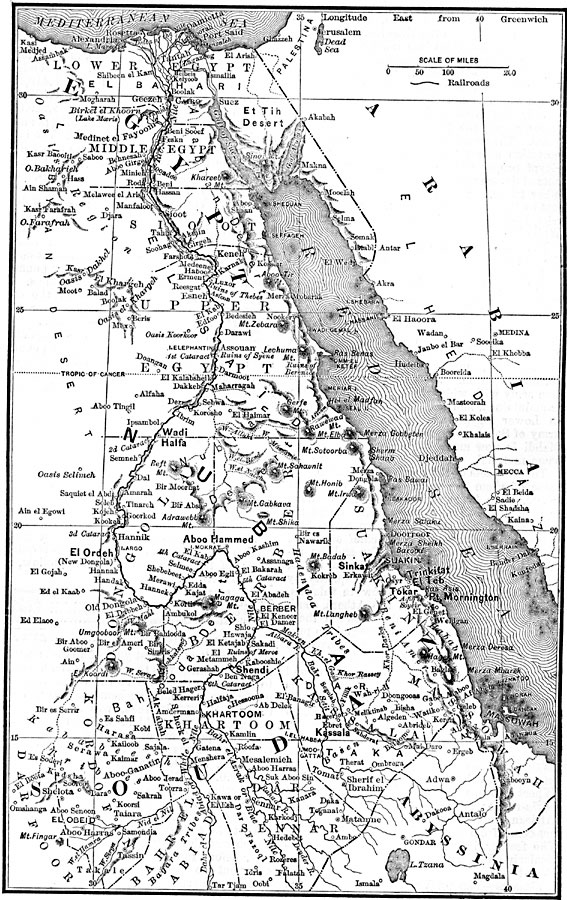
Description: A map of ancient Egypt showing the Upper, Middle, and Lower kingdoms, Nubia, principal cities and ports, mountains and desert regions, coastline, and caravan routes.
Place Names: Egypt, Egypt, �Sudan, �Arabia, �Abyssini
ISO Topic Categories: boundaries,
inlandWaters,
location,
oceans
Keywords: Ancient Egypt, physical, �political, physical features, country borders, boundaries,
inlandWaters,
location,
oceans, Unknown, 3150 to 31 BCE
Source: D. Appleton, Appleton's Annual Encyclopedia (New York, NY: D. Appleton and Company, 1886) 1883
Map Credit: Courtesy the private collection of Roy Winkelman |
|