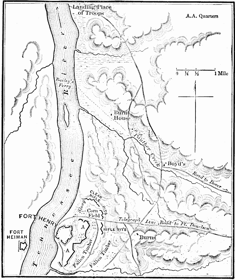
Description: A map of the Confederate Fort Henry. The map shows the Tennessee River and terrain hindering the Union capture of the fort (February 6, 1862).
Place Names: Tennessee,
ISO Topic Categories: inlandWaters,
location,
structure,
transportation,
intelligenceMilitary
Keywords: Ft. Henry, physical, �transportation, �historical, physical features, roads, Civil War, inlandWaters,
location,
structure,
transportation,
intelligenceMilitary, Unknown, February 6, 1862
Source: E. Benjamin Andrews, History of the United States Vol IV (New York, NY: Charles Scribner's Sons, 1895) 19
Map Credit: Courtesy the private collection of Roy Winkelman |
|