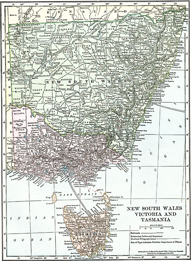
Description: A map of New South Wales, Victoria, and Tasmania in 1920 showing counties, cities, ports, railroads, cables and major overland telegraph lines, rivers, mountains, and coastal features.
Place Names: A Regional Map of Australia, Hobart, �Melbourne, �Newcastle, �Sydne
ISO Topic Categories: oceans,
location,
inlandWaters
Keywords: New South Wales, Victoria, and Tasmania, borders,
political,
transportation, country borders,
county borders, railroads, oceans,
location,
inlandWaters, Unknown, 1920
Source: , The New Reference Atlas of the World - A New Series of Physical, Political and Historical Maps compiled from Government Surveys and exhibiting the Latest Results of Geographical Research (New York, NY: C. S. Hammond & Company, 1920) 29
Map Credit: Courtesy the private collection of Roy Winkelman |
|