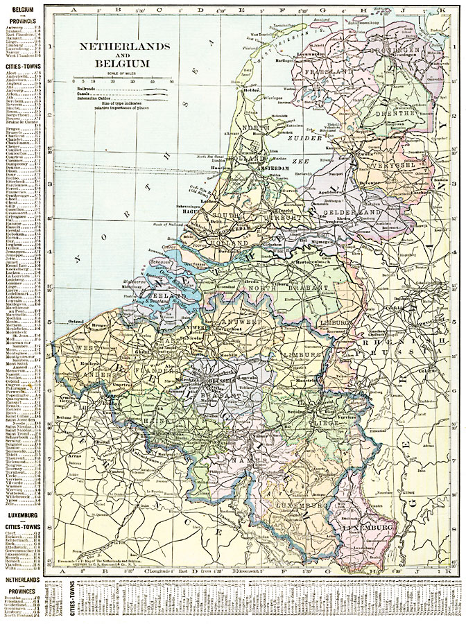
Description: A map of the Netherlands, Belgium, and Luxemburg in 1920, showing province boundaries, major cities and ports, railroads, canals, submarine cables, rivers and hilly areas of the region. This map has a reference key to the provinces, cities, and towns of the Netherlands, Belgium, and Luxemburg on the left edge and bottom of the map.
Place Names: Low Countries, Antwerp, �Belgium, �Brussels, �Hague, �Mons, �Netherlands, �Rotterdam, �Utrecht, Luxemburg
ISO Topic Categories: oceans,
location,
inlandWaters,
boundaries
Keywords: Netherlands and Belgium, borders, �political, �transportation, �historical, major political subdivisions,
country borders,
county borders, railroads,
water routes, other military, oceans,
location,
inlandWaters,
boundaries, Unknown, 1920
Source: , The New Reference Atlas of the World - A New Series of Physical, Political and Historical Maps compiled from Government Surveys and exhibiting the Latest Results of Geographical Research (New York, NY: C. S. Hammond & Company, 1920) 44
Map Credit: Courtesy the private collection of Roy Winkelman |
|