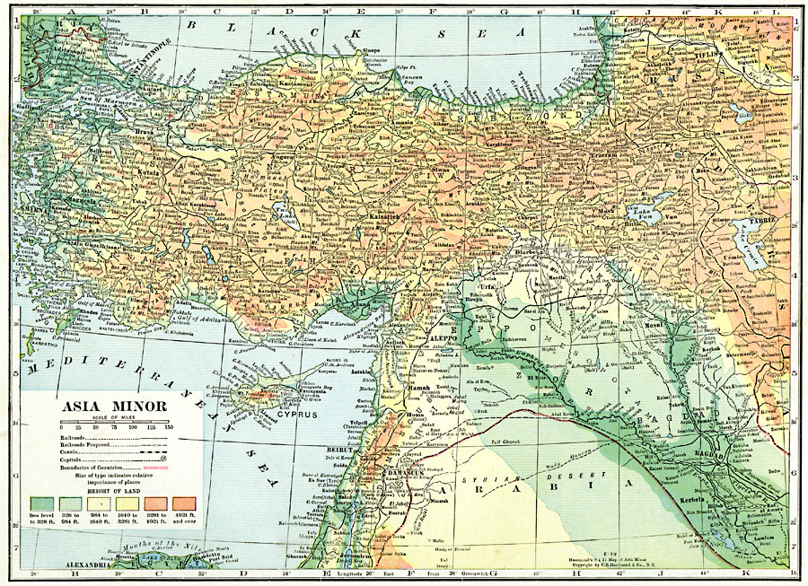
Description: A map from 1920 of Asia Minor, showing political boundaries at the time, capitals and major cities, towns and ports, railroads, proposed railroads, canals, rivers coastal features, and islands. The map is color-coded to show general elevations ranging from sea level to above 4,921 feet.
Place Names: Southwest Asia, Aleppo, �Beirut, �Cyprus, �Damascus, �Hamah, �Mesopotamia, �Mosul, �Tabriz, �Urf
ISO Topic Categories: oceans,
location,
inlandWaters,
boundaries
Keywords: Asia Minor, borders, �political, �transportation, �physical, topographical,
physical features, country borders,
major political subdivisions, railroads,
water routes, oceans,
location,
inlandWaters,
boundaries, Unknown, 1920
Source: , The New Reference Atlas of the World - A New Series of Physical, Political and Historical Maps compiled from Government Surveys and exhibiting the Latest Results of Geographical Research (New York, NY: C. S. Hammond & Company, 1920) 54
Map Credit: Courtesy the private collection of Roy Winkelman |
|