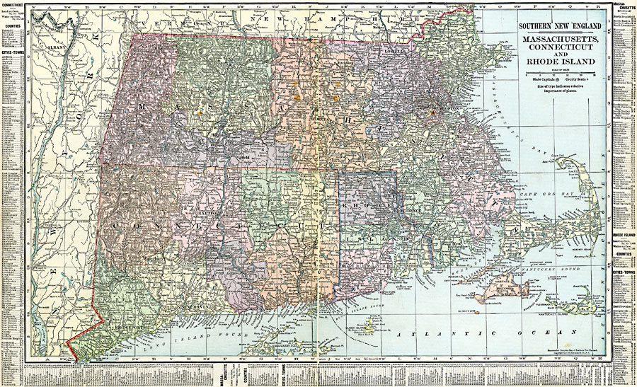
Description: Massachusetts, Connecticut, and Rhode Island.
Place Names: New England States, Boston, �Brockton, �Hartford, �New Bedford, �New Haven, �Providence, �Springfield, �Waterbury, �Worcester, �New England, �Massachusetts, �Connecticut, �Rhode Islan
ISO Topic Categories: oceans,
location,
inlandWaters,
boundaries
Keywords: Massachusetts, Connecticut, and Rhode Island, borders, �political, �physical, country borders,
county borders, oceans,
location,
inlandWaters,
boundaries, Unknown, 1920
Source: , The New Reference Atlas of the World - A New Series of Physical, Political and Historical Maps compiled from Government Surveys and exhibiting the Latest Results of Geographical Research (New York, NY: C. S. Hammond & Company, 1920) 66-67
Map Credit: Courtesy the private collection of Roy Winkelman |
|