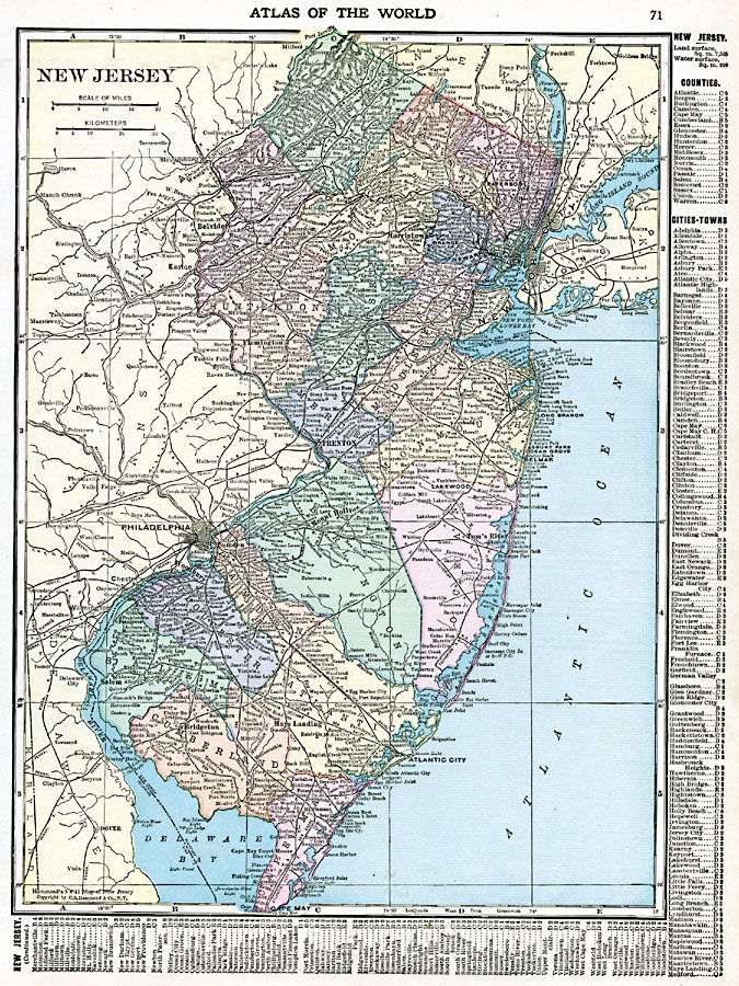
Description: New Jersey, showing physical features, counties, railroads, towns, and cities.
Place Names: New Jersey, Atlantic City, �Burlington, �Camden, �Elizabeth, �Jersey City, �New Brunswick, �Newark, �Paterson, �Salem, �Trento
ISO Topic Categories: oceans,
location,
inlandWaters,
boundaries
Keywords: New Jersey, borders, �political, �physical, country borders,
county borders, oceans,
location,
inlandWaters,
boundaries, Unknown, 1920
Source: , The New Reference Atlas of the World - A New Series of Physical, Political and Historical Maps compiled from Government Surveys and exhibiting the Latest Results of Geographical Research (New York, NY: C. S. Hammond & Company, 1920) 71
Map Credit: Courtesy the private collection of Roy Winkelman |
|