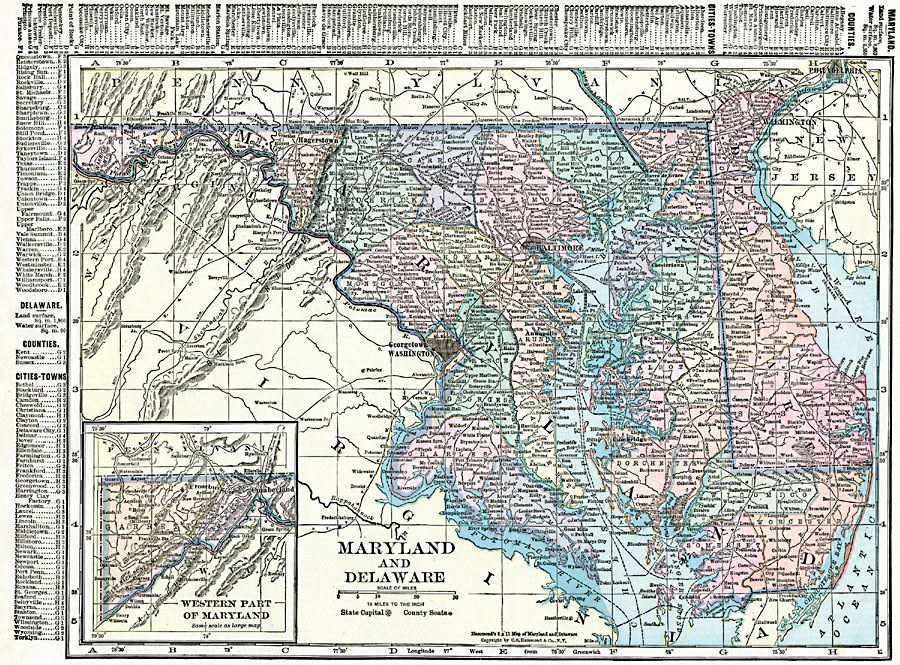
Description: Maryland and Delaware.
Place Names: Middle Atlantic States, Annapolis, �Baltimore, �Chestertown, �Crisfield, �Dover, �Easton, �Frederick City, �Hagerston, �Nottingham, �Rockville, �Salisbury, �Wilmington, �Mid-Atlantic States, �Middle Atlantic States, �Maryland, �Delawar
ISO Topic Categories: oceans,
location,
inlandWaters,
boundaries
Keywords: Maryland and Delaware, borders, �political, �physical, country borders,
county borders, oceans,
location,
inlandWaters,
boundaries, Unknown, 1920
Source: , The New Reference Atlas of the World - A New Series of Physical, Political and Historical Maps compiled from Government Surveys and exhibiting the Latest Results of Geographical Research (New York, NY: C. S. Hammond & Company, 1920) 74
Map Credit: Courtesy the private collection of Roy Winkelman |
|