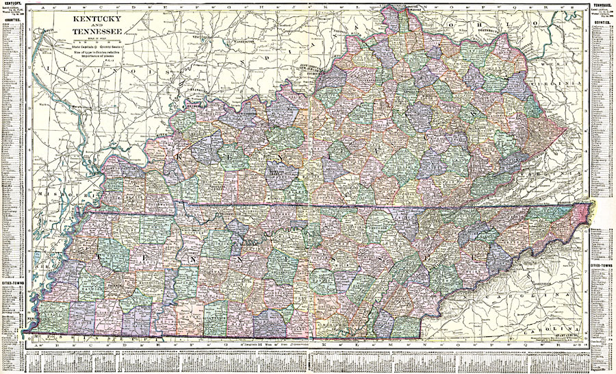
Description: Kentucky and Tennessee.
Place Names: Southern States, Bowling Green, �Chattanooga, �Clarksville, �Frankfort, �Jackson, �Knoxville, �Lexington, �Louisville, �Memphis, �Nashville, �Owensboro, �Paducah, �Kentucky, �Tennesse
ISO Topic Categories: oceans,
location,
inlandWaters,
boundaries
Keywords: Kentucky and Tennessee, borders, �political, �physical, country borders,
county borders, oceans,
location,
inlandWaters,
boundaries, Unknown, 1920
Source: , The New Reference Atlas of the World - A New Series of Physical, Political and Historical Maps compiled from Government Surveys and exhibiting the Latest Results of Geographical Research (New York, NY: C. S. Hammond & Company, 1920) 82-83
Map Credit: Courtesy the private collection of Roy Winkelman |
|