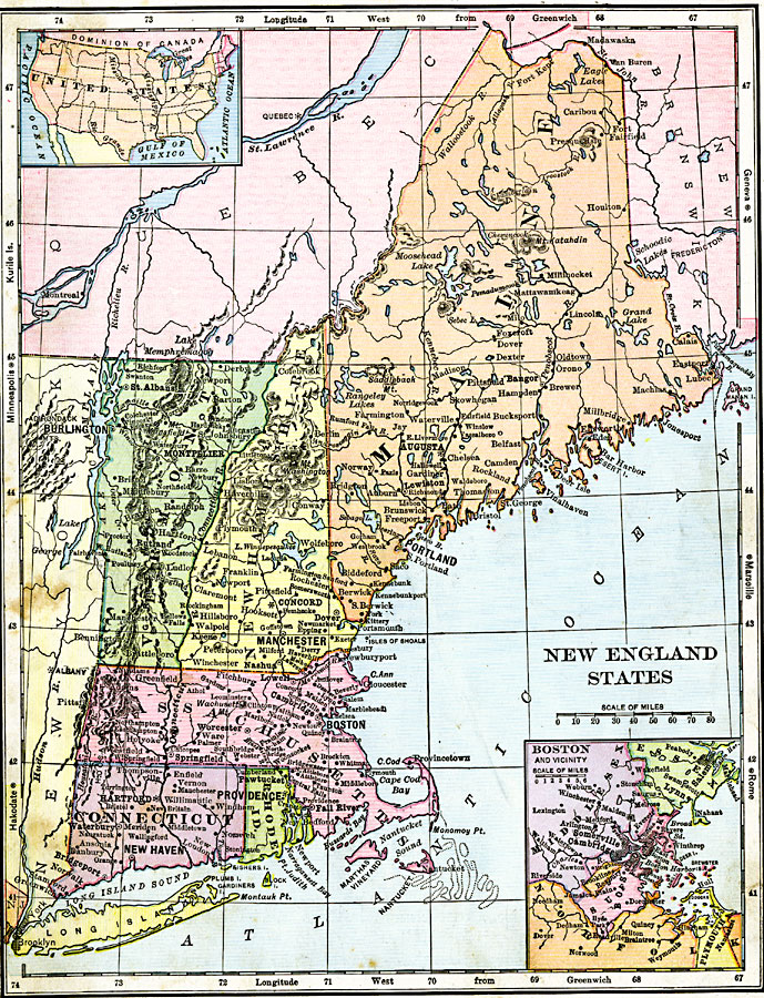
Description: The New England States, showing physical features and an insert of the Boston vicinity.
Place Names: New England States, Augusta, �Maine,�Montpelier, �Vermont, �Concord, �New Hampshire, �Boston, �Massachusetts, �Hartford, �Connecticut, �Providence, �Rhode Island, ��New Englan
ISO Topic Categories: boundaries,
oceans,
location,
inlandWaters
Keywords: New England States, physical, physical features, boundaries,
oceans,
location,
inlandWaters, Unknown, 1906
Source: Alexis Everett Frye, Frye's First Steps in Geography (Boston, MA: Ginn and Company, 1906) 147
Map Credit: Courtesy the private collection of Roy Winkelman |
|