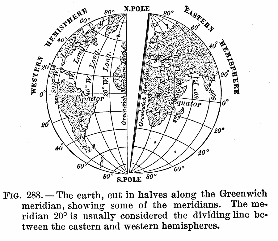
Description: A map of the globe from 1910 showing "[t]he earth, cut in halves along the Greenwich meridian, showing some of the meridians. The meridian 20° is usually considered the dividing line between the eastern and western hemispheres."
Place Names: A Complete Map of Globes and Multi-continent, Africa, �Antarctica, �Asia, �Australia, �Europe, �North America, �South Americ
ISO Topic Categories: boundaries
Keywords: Earth and the Greenwich Meridian, hemispheres, �meridians, physical features, boundaries, Unknown, 1910
Source: Ralph S. Tarr, B.S., F.G.S.A. and Frank M. McMurry, Ph.D., New Geographies (Second Book) (New York , NY: The MacMillan Company, 1910) 203
Map Credit: Courtesy the private collection of Roy Winkelman |
|