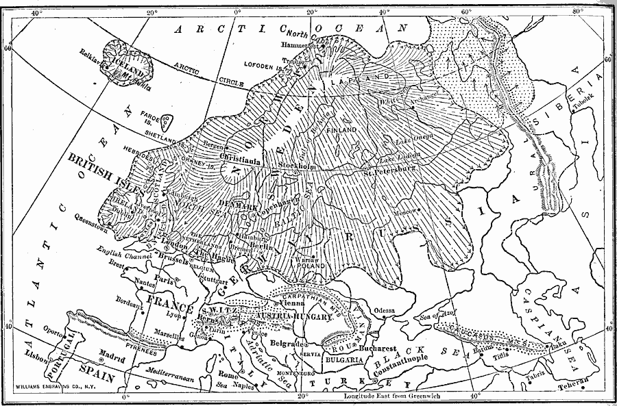
Description: A map of northern Europe during the Great Ice Age, showing the extent of the ice sheets and general direction of flow. This map also shows the mountain systems and glacial patterns of Europe, including the Urals, Pyrenees, Alps, Carpathian, and Caucasus mountains.
Place Names: Miscellaneous Europe, France, �Germany, �Greece, �Italy, �Poland, �Portugal, �Romania, �Spain, �Sweden, �United Kingdo
ISO Topic Categories: oceans,
location,
inlandWaters
Keywords: The Ice Sheet of Europe, physical, �meteorological, kClimate, oceans,
location,
inlandWaters, Unknown, 1910
Source: Ralph S. Tarr, B.S., F.G.S.A. and Frank M. McMurry, Ph.D., New Geographies (Second Book) (New York , NY: The MacMillan Company, 1910) 260
Map Credit: Courtesy the private collection of Roy Winkelman |
|