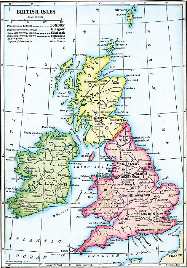
Description: A map of the British Isles, showing Wales as a part of England, Scotland, and Ireland, with major cities and towns, and major rivers.
Place Names: United Kingdom, England, �Ireland, �Scotland, �Shetland Island
ISO Topic Categories: oceans,
location,
inlandWaters
Keywords: British Isles, statistical, population, oceans,
location,
inlandWaters, Unknown, 1910
Source: Ralph S. Tarr, B.S., F.G.S.A. and Frank M. McMurry, Ph.D., New Geographies (Second Book) (New York , NY: The MacMillan Company, 1910) 262
Map Credit: Courtesy the private collection of Roy Winkelman |
|