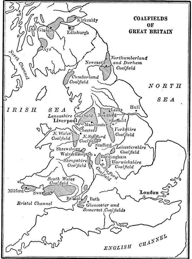
Description: Map of the major coal fields of Great Britain.
Place Names: United Kingdom, England, �Scotland, �Wale
ISO Topic Categories: oceans,
location,
inlandWaters
Keywords: Coalfields of Great Britain, physical, kResources, geological, oceans,
location,
inlandWaters, Unknown, 1910
Source: Ralph S. Tarr, B.S., F.G.S.A. and Frank M. McMurry, Ph.D., New Geographies (Second Book) (New York , NY: The MacMillan Company, 1910) 267
Map Credit: Courtesy the private collection of Roy Winkelman |
|