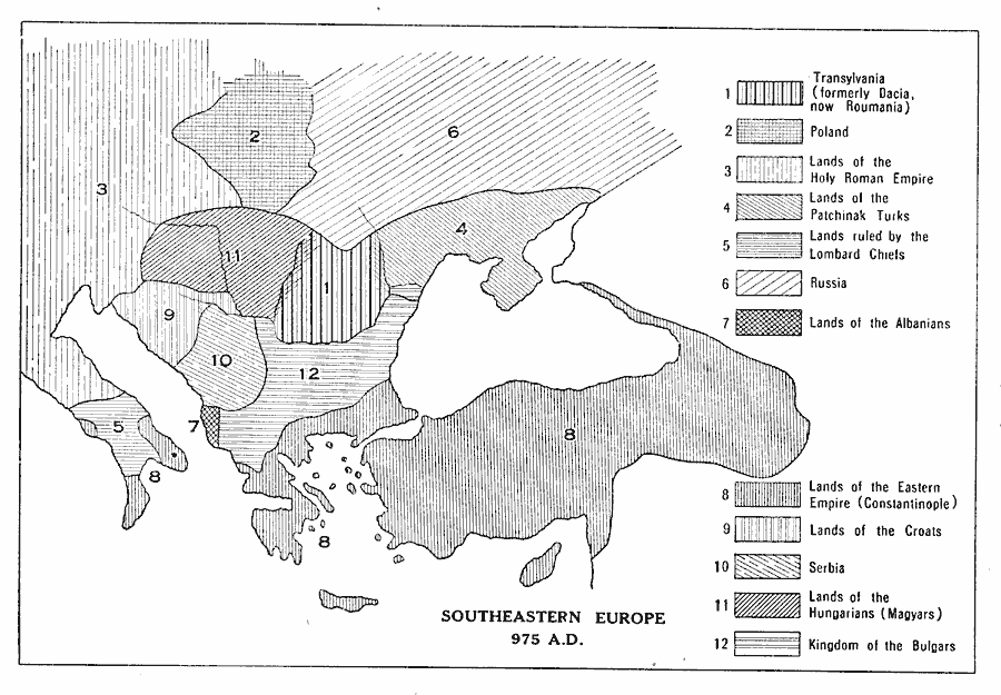
Description: A map of southeastern Europe in AD 975 showing the territories and distribution of peoples, including Transylvania (formerly Dacia, now Roumania), Poland, lands of the Holy Roman Empire, lands of the Patchinak Turks, lands ruled by Lombard chiefs, Russia, lands of the Albanians, lands of the Eastern Empire (Constantinople), lands of the Croats, Serbia, lands of the Hungarians (Magyars), and the Kingdom of the Bulgars.
Place Names: Mediterranean Europe, Transylvania, �Poland, �Lands of the Holy Roman Empire, �Lands of the Patchinak Turks, �Lands ruled by the Lombard Chiefs, �Russia, �Lands of the Albanians, �Lands of the Eastern Empire (Constantinople), �Lands of the Croats, �Serbia, �Lands of the Hun
ISO Topic Categories: boundaries,
oceans,
society
Keywords: Southeastern Europe, physical, �political, �statistical, �historical, physical features, country borders, ethnological, boundaries,
oceans,
society, Unknown, A.D. 975
Source: L. P. Benezet, The Story of the Map of Europe (Chicago, IL: Scott, Foresman and Company, 1916) 74
Map Credit: Courtesy the private collection of Roy Winkelman |
|