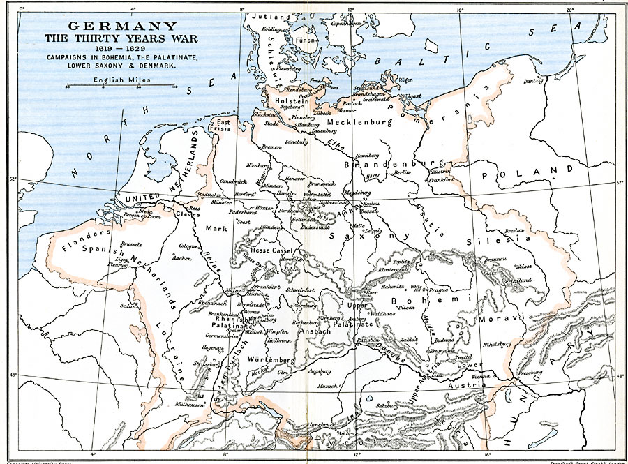
Description: A map of Germany showing the extent of the Thirty Years War between 1619–1629, including the campaigns in Bohemia, the Palatinate, Lower Saxony, and Denmark. This map includes the territories of Holstein, Mecklenburg, Pomerania, East Frisia, Brandenburg, Flanders, Spanish Netherlands, Saxony, Silesia, Lorraine, Bohemia, and Moravia. Major rivers and important cities of the time are shown.
Place Names: Central Europe, Austria, �Baden, �Bohemia, �Brandenburg, �Denmark, �Netherlands, �Poland, �Saxony, �Spain,
ISO Topic Categories: oceans,
location,
inlandWaters,
boundaries
Keywords: Germany during The Thirty Years War, political, kThirtyYearsWar, local jurisdictions,
country borders, oceans,
location,
inlandWaters,
boundaries, Unknown, 1619–1629
Source: Ward, Prothero, and Leathes, The Cambridge Modern History Atlas (New York, NY: The Macmillan Company, 1912)
Map Credit: Courtesy the private collection of Roy Winkelman |
|