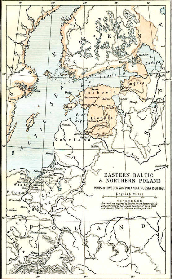
Description: A map of Eastern Baltic and Northern Poland, subtitled "Wars of Sweden with Poland & Russia 1560–1661." Map is color–coded to show territory acquired by Sweden on the Eastern Baltic by the Treaty of Oliva in 1660 and Treaty of Kardis in 1661. The map shows a portion of Finland, Ingria, Esthonia (Estonia), and Livonia (Latvia) under Swedish control. The map also shows major cities and rivers of the region, and islands and coastal features of the Baltic Sea.
Place Names: Eastern Europe, Esthonia, �Finland, �Gothland, �Ingria, �Livonia, �Poland, �Stockholm, �Swede
ISO Topic Categories: oceans,
location,
inlandWaters,
boundaries
Keywords: Eastern Baltic and Northern Poland, political, �statistical, �historical, local jurisdictions,
country borders, historical event, oceans,
location,
inlandWaters,
boundaries, Unknown, 1560–1661
Source: Ward, Prothero, and Leathes, The Cambridge Modern History Atlas (New York, NY: The Macmillan Company, 1912)
Map Credit: Courtesy the private collection of Roy Winkelman |
|