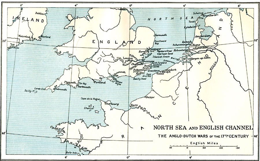
Description: A map of the North Sea and the English Channel, subtitled "The Anglo–Dutch Wars of the 17th Century." This map shows the coastal features and major cities during the Anglo–Dutch Wars, a series of three wars to establish control over the seas and trade routes in the region. Although some historians consider there to be four war periods, the wars of the 17th Century include the periods of 1652–1654, 1665–1667, and 1672–1674.
Place Names: Western Europe, Amsterdam, �Dublin, �England, �France, �Holland, �Ireland, �Londo
ISO Topic Categories: oceans,
location,
inlandWaters,
boundaries
Keywords: North Sea and the English Channel, political, �historical, local jurisdictions,
country borders,
major political subdivisions, other military,
historical event, oceans,
location,
inlandWaters,
boundaries, Unknown, 1652–1674
Source: Ward, Prothero, and Leathes, The Cambridge Modern History Atlas (New York, NY: The Macmillan Company, 1912)
Map Credit: Courtesy the private collection of Roy Winkelman |
|