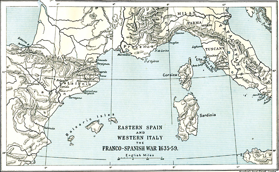
Description: A map of eastern Spain, southern France, and western Italy during the Franco–Spanish War (1635–1659).
Place Names: Mediterranean Europe, Italy, �Milan, �Naples, �Spain, �Tuscan
ISO Topic Categories: oceans,
location,
inlandWaters,
boundaries
Keywords: Eastern Spain and Western Italy, political, �historical, local jurisdictions,
country borders,
major political subdivisions, other military,
historical event, oceans,
location,
inlandWaters,
boundaries, Unknown, 1635–1659
Source: Ward, Prothero, and Leathes, The Cambridge Modern History Atlas (New York, NY: The Macmillan Company, 1912)
Map Credit: Courtesy the private collection of Roy Winkelman |
|