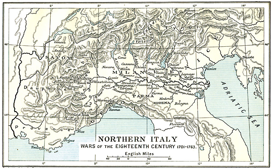
Description: Map of Northern Italy, subtitled "Wars of the Eighteenth Century 1701–1763." This map shows several battle sites during the War of the Spanish Succession (1701–1714) and the War of the Austrian Succession (1740–1748).
Place Names: Italy, Florence, �Genoa, �Milan, �Parma, �Savoy, �Venice,
ISO Topic Categories: oceans,
location,
inlandWaters,
boundaries
Keywords: Northern Italy, political, �historical, local jurisdictions,
country borders,
major political subdivisions, historical event,
other military, oceans,
location,
inlandWaters,
boundaries, Unknown, 1701–1763
Source: Ward, Prothero, and Leathes, The Cambridge Modern History Atlas (New York, NY: The Macmillan Company, 1912)
Map Credit: Courtesy the private collection of Roy Winkelman |
|