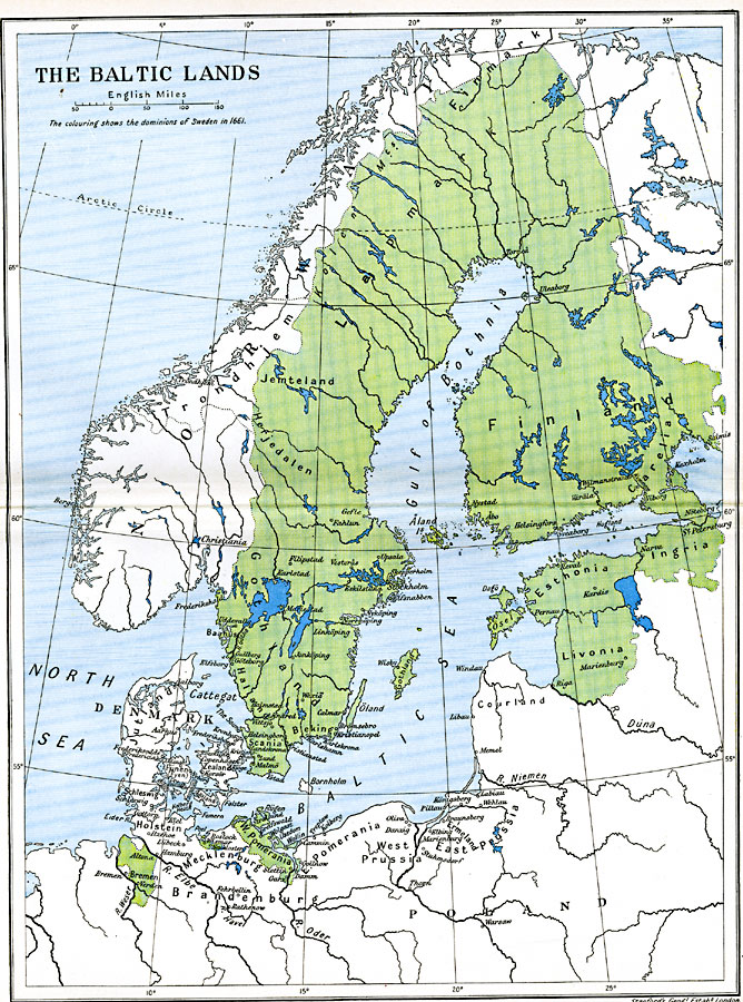
Description: A color–coded map showing the dominions of Sweden in 1661 extending around the Gulf of Bothia to include Finland and Carelia, Ingria, Esthonia, Ösel, Livonia, and West Pomerania on the Baltic Sea, and potions of Mecklenburg and Bremen..
Place Names: Sweden, Bremen, �Denmark, �Finland, �Lapmark, �Norway, �Swede
ISO Topic Categories: oceans,
location,
inlandWaters,
boundaries
Keywords: The Baltic Lands, political, �historical, local jurisdictions,
country borders,
major political subdivisions, historical event,
other military, oceans,
location,
inlandWaters,
boundaries, Unknown, 1661
Source: Ward, Prothero, and Leathes, The Cambridge Modern History Atlas (New York, NY: The Macmillan Company, 1912)
Map Credit: Courtesy the private collection of Roy Winkelman |
|