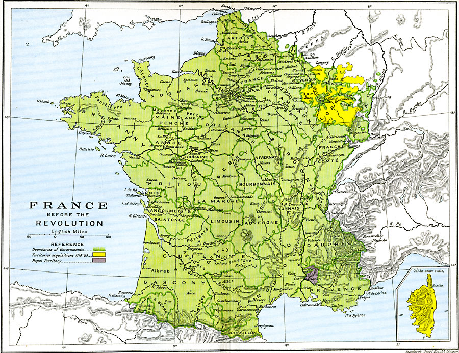
Description: A map of France before the Revolution, from the Régence (1715) to the execution of Louis XIV (1789). This map is color–coded to show the French territory and boundaries of French administrative departments, territorial acquisitions from 1715–1789 (Bar, Lorraine, and the island of Corsica), and the Papal territory in Comtat Venaissin.
Place Names: France, Bordeaux, �Brittany, �Burgundy, �Champagne, �Corsica, �Dunkerque, �Gascony, �Grenoble, �Languedoc, �Lorraine, �Lyon, �Nancy, �Nice, �Normandy, �Orleans, �Paris, �Poitou, �Provence, �Starsbourg, �Tour
ISO Topic Categories: oceans,
location,
inlandWaters,
boundaries
Keywords: France before the Revolution, political, country borders,
major political subdivisions,
local jurisdictions, oceans,
location,
inlandWaters,
boundaries, Unknown, 1715–1789
Source: Ward, Prothero, and Leathes, The Cambridge Modern History Atlas (New York, NY: The Macmillan Company, 1912)
Map Credit: Courtesy the private collection of Roy Winkelman |
|