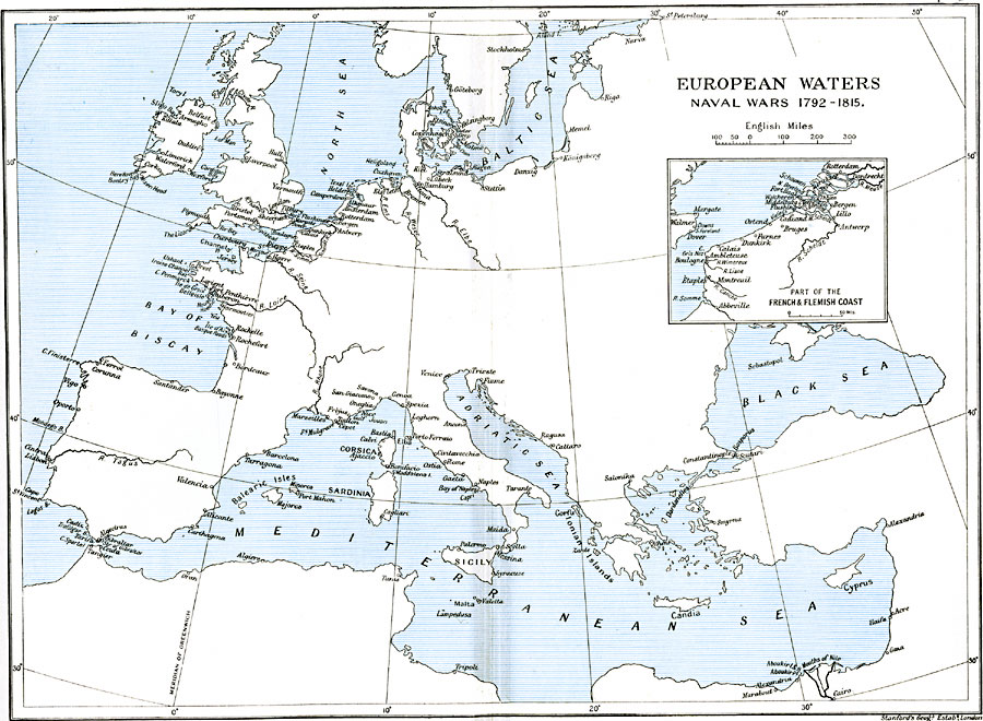
Description: A map of European Waters, subtitled "Naval Wars 1792–1815." This map shows the rivers, ports and major cities of coastal Europe from the time of the French Revolution to the end of the Napoleonic Wars. The inset map details the French and Flemish coast from French Abbeville to Flemish Rotterdam.
Place Names: Western and Central Europe, Adriatic Sea, �Baltic Sea, �Black Sea, �Candia, �Constantinople, �Corsica, �Cyprus, �Meditteranean Sea, �North Sea, �Sardinia, �Sicil
ISO Topic Categories: oceans,
location,
inlandWaters,
boundaries
Keywords: European Waters and Naval Wars, political, �historical, kNapoleonBonaparte, kNapoleonicWars, country borders,
major political subdivisions,
local jurisdictions, other military, oceans,
location,
inlandWaters,
boundaries, Unknown, 1792–1815
Source: Ward, Prothero, and Leathes, The Cambridge Modern History Atlas (New York, NY: The Macmillan Company, 1912)
Map Credit: Courtesy the private collection of Roy Winkelman |
|