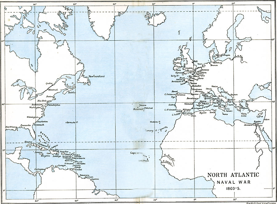
Description: Map showing the North Atlantic from 1803–1805.
Place Names: Regional Atlantic Ocean, Europe, �North America, �South Americ
ISO Topic Categories: political, �historical, kWorldAtlantic
Keywords: North Atlantic, political, �historical, country borders,
major political subdivisions,
local jurisdictions, historical event,
other military, political, �historical, kWorldAtlantic, Unknown, 1803–1805
Source: Ward, Prothero, and Leathes, The Cambridge Modern History Atlas (New York, NY: The Macmillan Company, 1912)
Map Credit: Courtesy the private collection of Roy Winkelman |
|