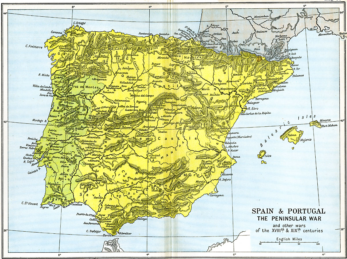
Description: A map of Spain and Portugal during the Napoleonic Wars between 1807 when France invaded neutral Portugal and 1814 when the armies of the Sixth Coalition defeated Napoleon. The map is subtitled "The Peninsular War and other wars of the XVIIIth and XIXth Centuries," and shows country borders, provinces, important cities, towns, and ports, rivers, and mountain systems of the Iberian Peninsula.
Place Names: Iberian Peninsula, Aragon, �Cantalonia, �Majorca, �New Castile, �Portugal, �Seville, �Spai
ISO Topic Categories: oceans,
location,
inlandWaters,
boundaries
Keywords: Spain & Portugal, political, �historical, kNapoleonBonaparte, kNapoleonicWars, country borders,
major political subdivisions,
local jurisdictions, historical event,
other military, oceans,
location,
inlandWaters,
boundaries, Unknown, 18th and 19th Centuries
Source: Ward, Prothero, and Leathes, The Cambridge Modern History Atlas (New York, NY: The Macmillan Company, 1912)
Map Credit: Courtesy the private collection of Roy Winkelman |
|