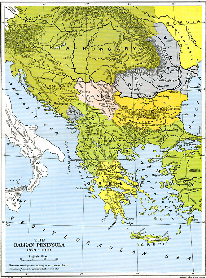
Description: A map of the Balkan Peninsula from the end of the Russo–Turkish War and the Treaty of San Stefano in 1878 to the period of the Young Turk Revolution in 1908. The map is color–coded to show the political situation in 1910, and the territories of Austria–Hungary, Russia north of the River Pruth, Roumania, Servia, Bulgaria, Montenegro, Greece, and the extent of the Ottoman Empire in Europe. This map shows the territories ceded by Greece to Turkey in 1897, and major cities, rivers, coastal features, and mountain systems in the region.
Place Names: Southeastern Europe, Austria, �Bosnia, �Bulgaria, �Crete�Greece, �Hungary, �Montenegro, �Romania, �Russia, �Servi
ISO Topic Categories: oceans,
location,
inlandWaters,
boundaries
Keywords: The Balkan Peninsula, political, �historical, kEuropeanOttomanEmpire, country borders,
local jurisdictions,
major political subdivisions, other military, oceans,
location,
inlandWaters,
boundaries, Unknown, 1878–1910
Source: Ward, Prothero, and Leathes, The Cambridge Modern History Atlas (New York, NY: The Macmillan Company, 1912)
Map Credit: Courtesy the private collection of Roy Winkelman |
|