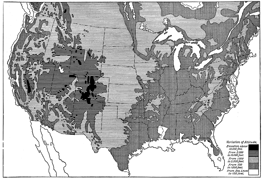
Description: A map from 1914 of the United States showing the general land elevations. The map is coded to show area elevations from sea level to above 10,000 feet.
Place Names: A Complete Map of the United States, Florida, �Texas, �California, �Maine,
ISO Topic Categories: boundaries,
elevation
Keywords: United States Land Elevations, physical, physical features, boundaries,
elevation, Unknown, 1914
Source: , The New Encyclopedic Atlas and Gazetteer of the World (New York, NY: P. F. Collier and Son, 1914) 96
Map Credit: Courtesy the private collection of Roy Winkelman |
|