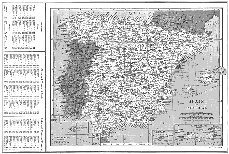
Description: A map of Spain and Portugal in 1914 showing major cities, rivers, and mountain systems of the Iberian Peninsula. The map has a grid reference key to Spanish provinces and major cities and towns, and Portuguese cities and towns on the left edge of the map. Includes insert maps of the Azores Islands, Madeira Islands, and Canary Islands.
Place Names: Iberian Peninsula, Lisbon, �Faro, �Braga, �Coimbra, �Portalegre, �Setubal, �Madrid, �Cadiz, �Barcelona, �Bilbao, �Tarragon
ISO Topic Categories: boundaries,
inlandWaters,
location,
oceans
Keywords: Spain and Portugal, physical, �political, physical features, country borders, boundaries,
inlandWaters,
location,
oceans, Unknown, 1914
Source: , The New Encyclopedic Atlas and Gazetteer of the World (New York, NY: P. F. Collier and Son, 1914) 139
Map Credit: Courtesy the private collection of Roy Winkelman |
|