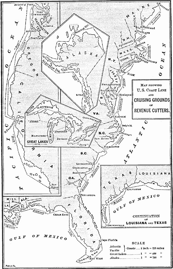
Description: U.S. coast line and the cruising grounds of revenue cutters. "Besides those mentioned there are fourteen vessels engaged in harbor duty, or upon inland waters, a sailing bark, and two steamers out of commission." —Harper's New Monthly Magazine Volume LXXIII, 1886
Place Names: Miscellaneous United States, Key West, �Beaufort, �Savannah, �Charleston, �Georgetown, �Wilmington, �Norfolk, �Baltimore, �Philadelphia, �New York, �Portland, �Rockland, �Pensacola, �Mobile, �Galveston, �Detroit, �Erie, �Milwaukee, �Olympia, �Portland, �Astoria, �San Francisco, �S
ISO Topic Categories: inlandWaters,
location,
oceans
Keywords: United States Coast Guard Cruising Grounds, physical, �woodbury, �dallas, �gallatin, �grant, �hamilton, �stevens, �colfax, �mcculloch, �bouticell, �dix, �forward, �seward, �mclane, �johnson, �fessenden, �bibb, �perry, �bear, �ewing, �dexter, �wolcott, �corwin, �rush, physical features, inlandWaters,
location,
oceans, Unknown, 1886
Source: , Harper's New Monthly Magazine Volume LXXIII (New York, NY: Harper and Brothers, 1886) 919
Map Credit: Courtesy the private collection of Roy Winkelman |
|