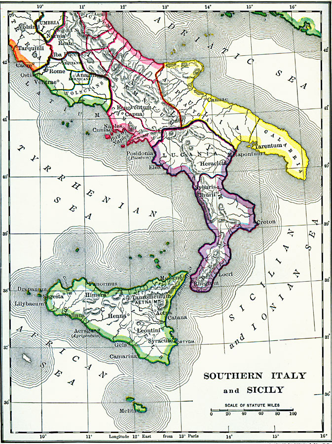
Description: A map of southern Italy and Sicily during the period of Greek colonization, showing Greek settlements on Sicily and the southern portion of the Italian Peninsula.
Place Names: Italy, Rome, �Naples, �Volsini, �Narnia, �Locri, �Sicily, �Syracus
ISO Topic Categories: boundaries,
inlandWaters,
location,
oceans
Keywords: Southern Italy and Sicily, physical, �political, kAncientGreece, physical features, country borders, boundaries,
inlandWaters,
location,
oceans, Unknown, 1600–265 BC
Source: George Willis Botsford, Ph. D., A History of Greece (London, : The Macmillan Company, 1912) xii
Map Credit: Courtesy the private collection of Roy Winkelman |
|