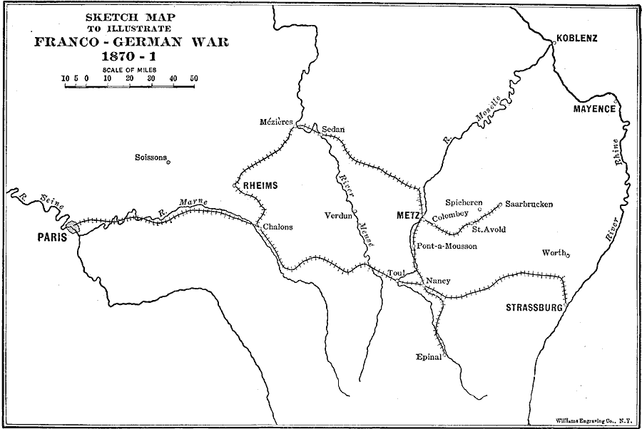
Description: A sketch map of France and Germany from Paris to the River Rhine, illustrating the territory of the Franco–German War (1870–1871). The map shows principal cities, railroads, and rivers of the area involved in the conflict.
Place Names: Western and Central Europe, Germany, �France, �Paris, �Rheims, �Metz, �Strassburg, �Mayence, �Koblen
ISO Topic Categories: boundaries,
inlandWaters,
location,
intelligenceMilitary,
transportation
Keywords: Map of the Franco-German War, physical, �transportation, �historical, �franco-german war, physical features, railroads, other military, boundaries,
inlandWaters,
location,
intelligenceMilitary,
transportation, Unknown, 1870–1871
Source: Lucius Hudson Holt, Ph.D., The History of Europe from 1862 to 1914 (New York, NY: The Macmillan Company, 1918) 142
Map Credit: Courtesy the private collection of Roy Winkelman |
|