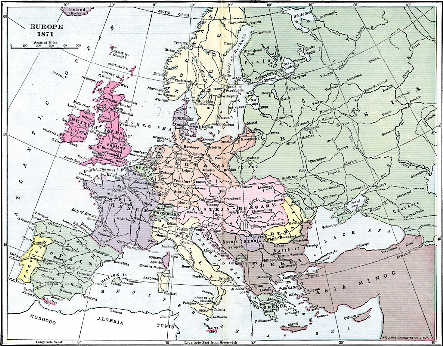
Description: A map showing country boundaries of Europe as they existed in 1871, including major cities and railroad routes.
Place Names: A Complete Map of Europe, France, �Germany, �Greece, �Italy, �Poland, �Portugal, �Spain, �Sweden, �United Kingdom, �Belgium, �Austria-Hungary, �Norway, �Switzerland, �Romani
ISO Topic Categories: boundaries,
transportation,
oceans,
location,
inlandWaters
Keywords: Europe, physical, �political, �transportation, physical features, country borders, roads, boundaries,
transportation,
oceans,
location,
inlandWaters, Unknown, 1871
Source: Lucius Hudson Holt, Ph.D., The History of Europe from 1862 to 1914 (New York, NY: The Macmillan Company, 1918) 180
Map Credit: Courtesy the private collection of Roy Winkelman |
|