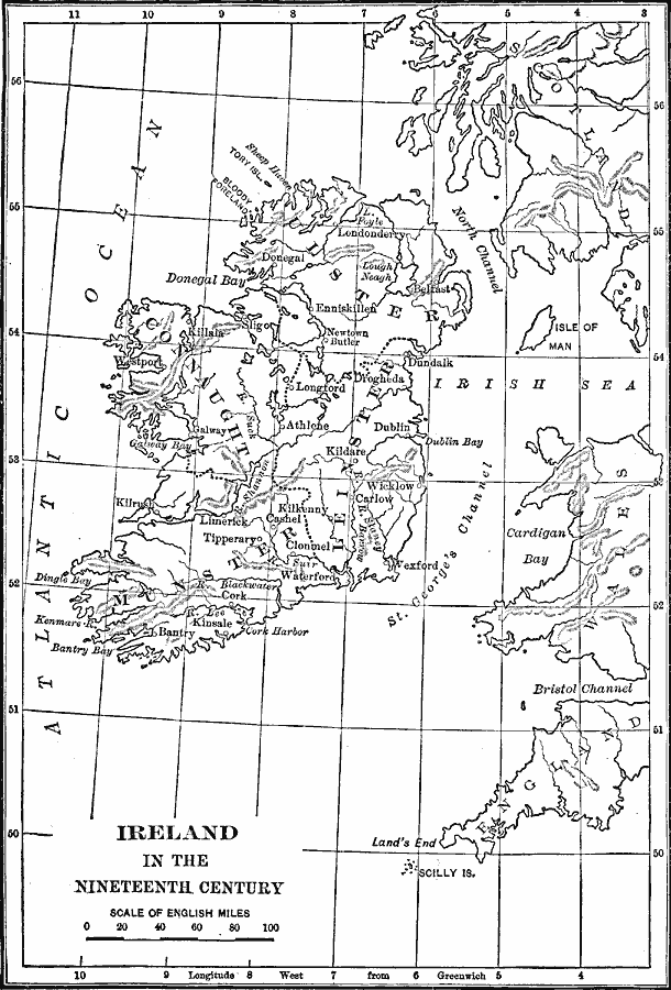
Description: A map of Ireland in the nineteenth century, showing the four provinces, major cities, rivers, lakes, terrain and coastal features.
Place Names: Ireland, Limerick, �Kilkenny, �Belfast, �Cork, �Donegal, �Dublin, �Wexford, �Bantr
ISO Topic Categories: boundaries,
inlandWaters,
location,
oceans
Keywords: Ireland, physical, �political, physical features, country borders,
major political subdivisions, boundaries,
inlandWaters,
location,
oceans, Unknown, 1800–1899
Source: Lucius Hudson Holt, Ph.D., The History of Europe from 1862 to 1914 (New York, NY: The Macmillan Company, 1918) 512
Map Credit: Courtesy the private collection of Roy Winkelman |
|