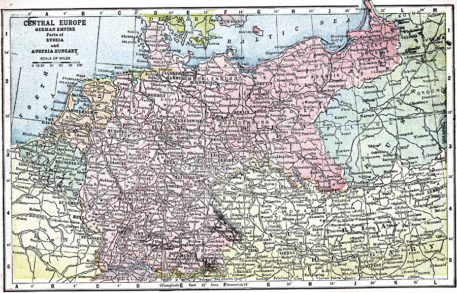
Description: A map showing the political boundaries of Central Europe in 1903, with emphasis on pre–war Germany, portions of Austria–Hungary, and Russia. The map shows major cities, railways, rivers, and mountains.
Place Names: Central Europe, Germany, �France, �Austria-Hungary,�Hungary,�Austria, �Denmark, �Poland, �German Empir
ISO Topic Categories: boundaries,
inlandWaters,
location,
oceans,
transportation
Keywords: Central Europe, physical, �political, �transportation, physical features, country borders, roads, boundaries,
inlandWaters,
location,
oceans,
transportation, Unknown, 1903
Source: W. R. Hearst, The American Almanac, Yearbook Cycopedia and Atlas 2nd ed (Chicago, IL: Hearst's Chicago American, 1903) 312
Map Credit: Courtesy the private collection of Roy Winkelman |
|