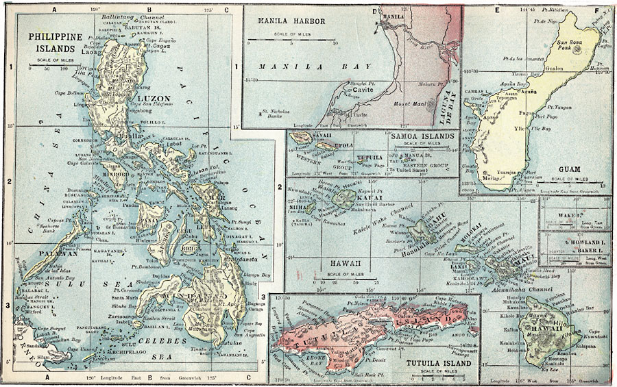
Description: A map from 1909 of the Central Pacific islands under United States possession at the time. This series of detailed maps include the Philippine Islands and Manila Harbor, Guam, the Samoa Islands, Hawaiian Islands, Wake Island, Howland and Baker islands, and a detail of Tutuila (Samoa). Cities, towns, ports, and coastal features are shown.
Place Names: Regional Pacific Ocean, Hawaiin Islands, �Tutuila Island, �Phillipine Islands, �Phillipines, �Manilla, �Guam, �Samo
ISO Topic Categories: physical, �political, kWorldPacific
Keywords: U.S. Possessions in the Pacific Islands, physical, �political, physical features, country borders, physical, �political, kWorldPacific, Unknown, 1903
Source: W. R. Hearst, The American Almanac, Yearbook Cycopedia and Atlas 2nd ed (Chicago, IL: Hearst's Chicago American, 1903) 353
Map Credit: Courtesy the private collection of Roy Winkelman |
|
