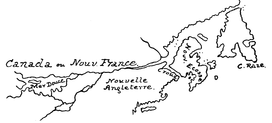
Description: A facsimile of a map from Covens and Mortier (Allard atlases of the late 1600s) of Canada and New England. The map shows Canada or Nouvelle France, Mer Douce (Lake Huron), Nouvelle Angleterre (New England), Nouvelle Ecosse (Nova Scotia), and C. Raze (Cape Race).
Place Names: A Regional Map of North America, Canada, �United State
ISO Topic Categories: oceans,
location,
inlandWaters
Keywords: Nouvelle France, Nouvelle Angleterre, and Nouvelle Ecosse, borders, �physical, kEarlyMapsFacsimile, physical features, oceans,
location,
inlandWaters, Unknown, Late 1600s
Source: Justin Winsor, Narrative and Critical History of America (vol. 4) (Boston, MA: Houghton, Mifflin, and Company, 1884) 390
Map Credit: Courtesy the private collection of Roy Winkelman |
|