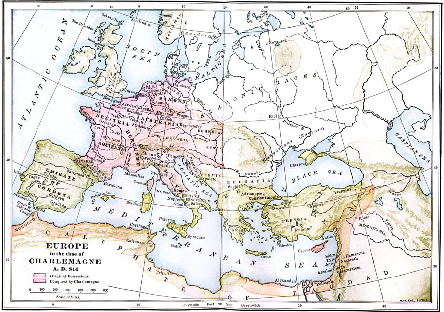
Description: A map showing Europe in the time of Charlemagne, color–coded to show original possessions and lands taken over by Charlemagne.
Place Names: Western and Central Europe, Aquitania, �Burgundy, �Cordova, �Cyprus,�Egypt, �Greece, �Italy, �Phyrgia, �Saxony, �Spai
ISO Topic Categories: oceans,
location,
inlandWaters
Keywords: Europe in the time of Charlemagne , borders, �physical, oceans,
location,
inlandWaters, Unknown, A.D. 814
Source: James Henry Breasted, Ph.D., LL.D., Ancient Times - A History of the Early World (Boston, MA: Ginn and Company, 1916)
Map Credit: Courtesy the private collection of Roy Winkelman |
|