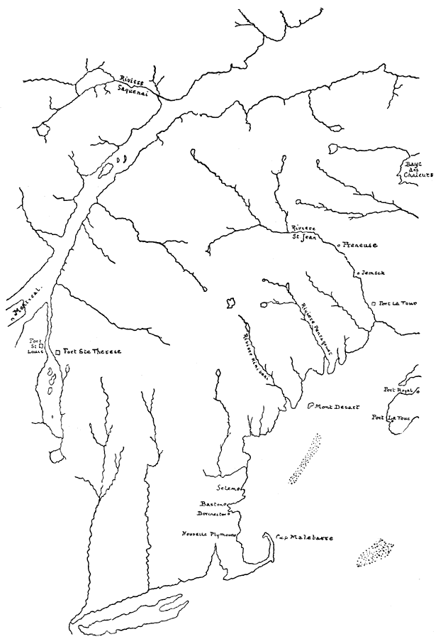
Description: North Atlantic coast of the New England region.
Place Names: A Regional Map of North America, Nouvelle Plymouth, �Port Royal, �Montreal, �Baston, �Selem, �Riviere St. Jean, ��Canada, �United State
ISO Topic Categories: inlandWaters,
location
Keywords: New England, physical, physical features, inlandWaters,
location, Unknown, 1680
Source: Justin Winsor, Narrative and Critical History of America Vol. III (Boston, MA: Houghton, Mifflin and Company, 1884) 383
Map Credit: Courtesy the private collection of Roy Winkelman |
|