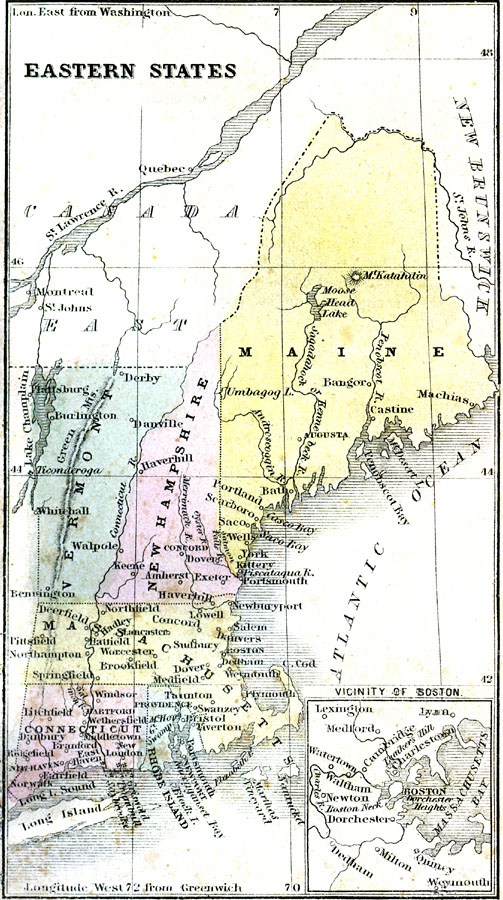
Description: A map from 1859 of the eastern states of Vermont, New Hampshire, Maine, Massachusetts, Connecticut, and Rhode Island, showing state boundaries, major cities and towns, mountains, rivers, and coastal features. An inset map details Massachusetts Bay and the vicinity of Boston.
Place Names: New England States, Boston, �Connecticut, �Maine, �Massachusetts, �New Hampshire, �New York, �Rhode Island, �Vermont, �Colonial America, �Discover
ISO Topic Categories: oceans,
location,
inlandWaters,
boundaries
Keywords: Eastern States, borders, �physical, oceans,
location,
inlandWaters,
boundaries, Unknown, 1859
Source: Charles A. Goodrich, History of the United States for Schools (Boston, MA: Hickling, Swan, and Brewer, 1859)
Map Credit: Courtesy the private collection of Roy Winkelman |
|