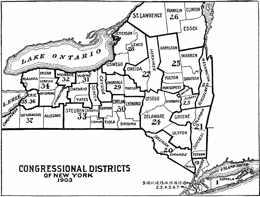
Description: A map outlining the congressional districts of New York State in 1903.
Place Names: New York,
ISO Topic Categories: boundaries,
society,
location,
inlandWaters
Keywords: Congressional Districts of New York, physical, �political, �congressional districts, physical features, local jurisdictions,
major political subdivisions, boundaries,
society,
location,
inlandWaters, Unknown, 1903
Source: W. R. Hearst, The American Almanac, Yearbook Cycopedia and Atlas 2nd ed (Chicago, IL: Hearst's Chicago American, 1903) 819
Map Credit: Courtesy the private collection of Roy Winkelman |
|