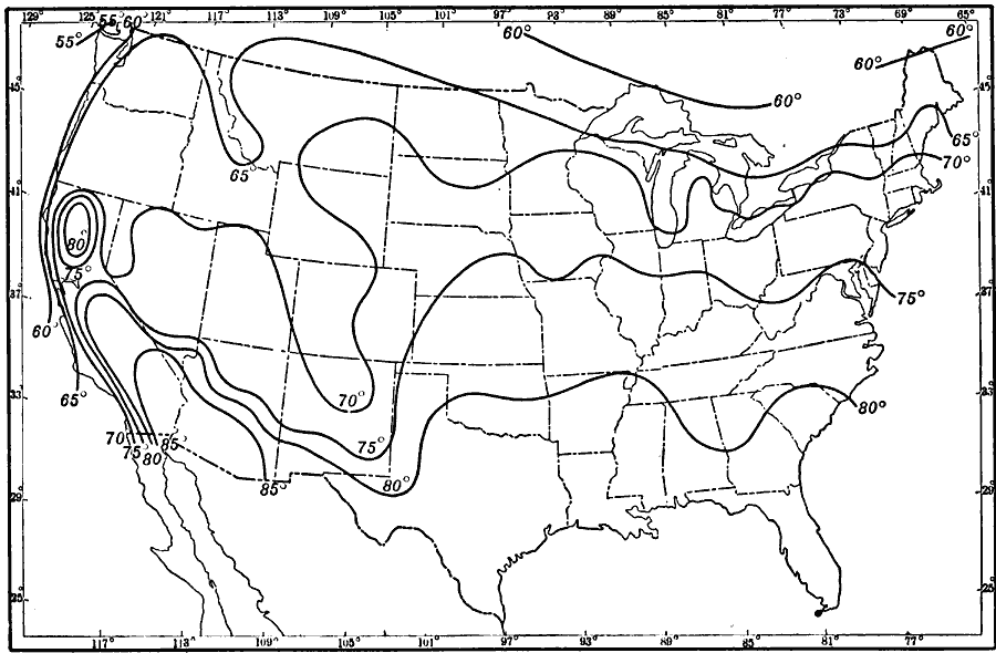
Description: A map from 1911 of the United States showing isotherms of mean surface temperatures in the region for the month of July.
Place Names: Meteorology, temperatur
ISO Topic Categories: boundaries,
location,
inlandWaters,
oceans
Keywords: Normal Surface Temperatures for July, physical, �political, �meteorological, kClimate, physical features, country borders,
major political subdivisions, climate,
temperature, boundaries,
location,
inlandWaters,
oceans, Unknown, 1911
Source: Isaiah Bowman, Ph. D., Forest Physiography (New York, NY: John Wiley and Sons, 1911) 114
Map Credit: Courtesy the private collection of Roy Winkelman |
|