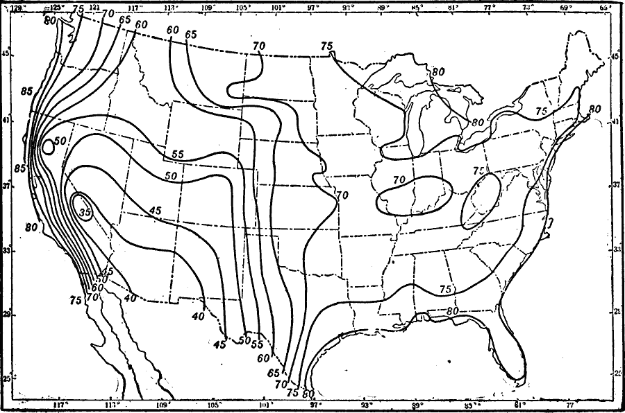
Description: A map from 1911 of the United States showing the isolines of the average annual relative humidity of the air in the region.
Place Names: Meteorology, Humidit
ISO Topic Categories: climatologyMeteorologyAtmosphere,
inlandWaters,
location,
oceans,
boundaries
Keywords: Average Humidity in the United States, physical, �political, �meteorological, kClimate,physical features, country borders,
major political subdivisions, climate, climatologyMeteorologyAtmosphere,
inlandWaters,
location,
oceans,
boundaries, Unknown, 1911
Source: Isaiah Bowman, Ph. D., Forest Physiography (New York, NY: John Wiley and Sons, 1911) 119
Map Credit: Courtesy the private collection of Roy Winkelman |
|