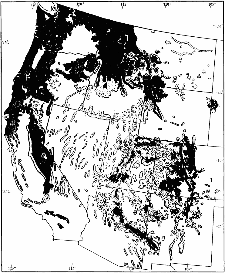
Description: A map from 1911 of the United States showing the distribution of western forests and woodlands. Solid black represents continuous forests, dotted areas represent woodland, or areas that have a thin, scattered growth of forest vegetation.
Place Names: Forestry, Western Forest
ISO Topic Categories: boundaries,
biota,
location
Keywords: Western Forests and Woodlands, physical, �statistical, �political, physical features, major political subdivisions, vegetation, boundaries,
biota,
location, Unknown, 1911
Source: Isaiah Bowman, Ph. D., Forest Physiography (New York, NY: John Wiley and Sons, 1911) 146
Map Credit: Courtesy the private collection of Roy Winkelman |
|